Docs
Maps
Maps
Maps and geospatial analysis with AI — upload layers, query them and style them by asking.
Maps (KNet Maps) is a GIS for your workspace. Upload or connect spatial data, put layers on a map, and ask in plain words for analysis and styling.
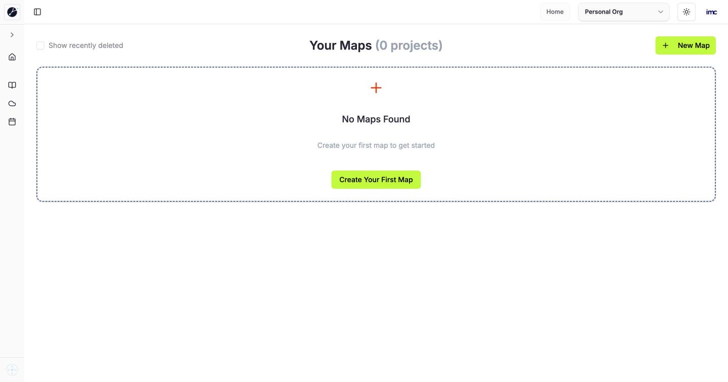
Pages
| Page | What it is for |
|---|---|
| Home | Your Maps in this workspace, newest first. New Map creates one; Show recently deleted brings back deleted maps |
| Documentation | Guides and reference for KNet Maps |
| Cloud | The KNetAI website and cloud platform |
| Schedule a call | Book a call with the KNetAI team |
Typical tasks
- Create a map, upload a GeoJSON, Shapefile or CSV with coordinates, then ask "show only the sites within 5 km of a highway".
- Ask Kue to start the Spatial Intelligence Network K-Net.